Log in
All resources
Create a design
10,854 Free Images of Historic Map
pages with maps
cc-zero
national register of historic places with known ids
gemeente atlas van nederland - south holland
1860s maps of south holland
national register of historic places missing sdc depicts
national register of historic places missing sdc location of creation
images from wiki loves monuments missing sdc depicts
images from wiki loves monuments missing sdc location of creation
uploaded via campaign:wlm-us
gemeente atlas van nederland - south holland
1860s maps of south holland
gemeente atlas van nederland - south holland
1860s maps of south holland
gemeente atlas van nederland - north holland
maps of uithoorn
gemeente atlas van nederland - north holland
maps of zandvoort
historisk atlas (stockholm, norstedt & söner, 1880)
maps of 14th-century europe
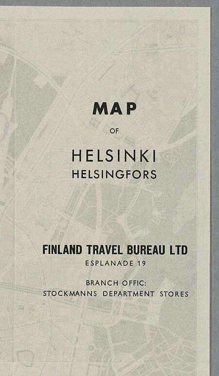
media from the national library of finland
classicism
gemeente atlas van nederland - south holland
maps of groot-ammers
gemeente atlas van nederland - south holland
maps of zuid-beijerland
engravings of topographia braunschweig lüneburg
baroque
gemeente atlas van nederland - south holland
1860s maps of south holland
gemeente atlas van nederland - utrecht
ruwiel
historical images of bolivia
potosí
gemeente atlas van nederland - south holland
old maps of delft
gemeente atlas van nederland - north holland
old maps of haarlem
historisk atlas (stockholm, norstedt & söner, 1880)
old maps of the polish-lithuanian commonwealth
maps of paris from the david rumsey historical map collection
map of paris by jouvin de rochefort (boutier 133)
maps of brussels city walls
old maps of brussels
gemeente atlas van nederland - north holland
blokker
historical images of la crosse, wisconsin
maps in the library of congress
gemeente atlas van nederland - north holland
old maps of alkmaar
historisk atlas (stockholm, norstedt & söner, 1880)
maps of 13th-century germany
historical images of the jardin du luxembourg
maps of jardin du luxembourg
north hollywood, los angeles
rural
architecture
city
self-published work
architecture
architecture
town
self-published work
vehicle
winter
snow
self-published work
architecture
architecture
city
architecture
city
pavement
tree
self-published work
vehicle
self-published work
vehicle
self-published work
architecture
media from the national library of finland
classicism
historical images of håkonshallen
bergenhus festning in art
maps of the history of sweden
old maps of scandinavia
media from the national library of finland
classicism
turgot map of paris – derivative files
old maps of île saint-louis
turgot map of paris – derivative files
ville l'évêque (paris)
gemeente atlas van nederland - north holland
old maps of haarlem
gemeente atlas van nederland - south holland
1860s maps of south holland
gemeente atlas van nederland - south holland
1860s maps of south holland
gemeente atlas van nederland - south holland
1860s maps of south holland
gemeente atlas van nederland - south holland
1860s maps of south holland
gemeente atlas van nederland - south holland
maps of zegwaart
self-published work
pages with maps
architecture
city
self-published work
architecture
self-published work
pages with maps
architecture
village
self-published work
town
skyline
travel
gemeente atlas van nederland - north holland
old maps of heemstede, north holland
historisk atlas (stockholm, norstedt & söner, 1880)
maps of the history of asia
gemeente atlas van nederland - south holland
1860s maps of south holland
village
roof
self-published work
pages with maps
self-published work
pages with maps
self-published work
roof
village
roof
village
roof
self-published work
pages with maps
self-published work
rural
self-published work
architecture
self-published work
pages with maps
village
roof
self-published work
pages with maps
historical images of havana
old maps of havana
turgot map of paris, david rumsey historical map collection – derivative files
reuilly (paris)
gemeente atlas van nederland - south holland
1860s maps of south holland
narrative of the defence of kars, historical and military (1857) by lake
maps from the mechanical curator collection
gemeente atlas van nederland - south holland
1860s maps of south holland
fatland (audubon, pennsylvania)
valley forge
maps of municipalities in the district of dielsdorf
historical images of regensberg zh
gemeente atlas van nederland - south holland
maps of warmond
gemeente atlas van nederland - south holland
maps of gouderak
gemeente atlas van nederland - north holland
maps of schoorl
gemeente atlas van nederland - south holland
1860s maps of south holland
historical map collection
maps by john cary
gemeente atlas van nederland - south holland
1860s maps of south holland
historical images of the hôtel de lassay
historical images of palais bourbon
history of bernkastel-kues
historic views of boppard
topographia westphaliae (merian)
baroque
topographia austriacarum (merian)
baroque
saigon during the french colonial period
citadel of saigon
gemeente atlas van nederland - south holland
maps of hazerswoude
self-published work
pages with maps
self-published work
pages with maps
sidewalk
town
self-published work
pages with maps
self-published work
architecture
gemeente atlas van nederland - south holland
1860s maps of south holland
traffic
town
village
rural
self-published work
rural
maps of duisburg by braun & hogenberg
postcards of duisburg
self-published work
pages with maps
village
roof
4901 - 5000 of 10,854
Next page
/ 109